Run one normal morning
From the exact driveway, time the trip to Greenwich station, the Merritt, I-684, and the school or work route you would repeat. Skip the broker’s best-case route; drive the real one at a real hour.
Neighborhoods
Get north of the Merritt and the draw is obvious: quieter roads, more trees, longer driveways, and houses that do not sit stacked on top of each other. The part to test is less romantic. Can your exact address handle the station run, the school or work route, the errands, the storms, the service access, and the upkeep that comes with land — before the quiet does too much of the convincing?
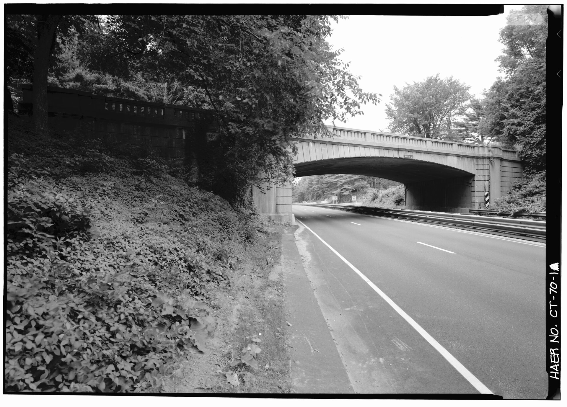
“Backcountry” is the everyday name Greenwich uses for the northern stretch of town, the part most people picture as starting north of the Merritt Parkway and running up toward the Westchester and New York State lines. It is not a Town boundary on a tax map — it is shorthand for a pattern: larger parcels, wooded and winding roads, more private wells and septic systems, and a week organized around the car rather than the sidewalk. The same word can cover a one-acre lot near a busier corridor and a multi-acre property at the end of a long private drive, so confirm the actual zoning, lot size, and lot lines for any specific parcel through Planning & Zoning and the Town GIS maps rather than reading them off a listing.
Backcountry does not need a warning label. It needs a different showing script than Downtown, Cos Cob, or Old Greenwich — one built around the trips you would actually repeat.
From the exact driveway, time the trip to Greenwich station, the Merritt, I-684, and the school or work route you would repeat. Skip the broker’s best-case route; drive the real one at a real hour.
Some backcountry weeks point south toward Greenwich Avenue and the library. Others point toward Banksville, Armonk, or a Stamford or Westchester stop. Know which way your week actually leans before you buy the address.
Look at the driveway slope, the trees over the wires, drainage, the plowing plan, how a service or fire truck reaches the house, the school-bus stop, and cell signal — while you are still calm enough to ask the boring questions.
There is no platform to walk to in backcountry Greenwich. You drive to the station, and in practice that usually means the downtown Greenwich station, which gets the faster express trains to Grand Central — which is also why its parking is in heavy demand. The Town issues commuter-parking permits and they can carry waitlists, so do not assume you will park on day one. Drive from the exact driveway at a real morning hour, sort out parking or a drop-off, and confirm current permit availability with Town Parking Services before “close to Greenwich” settles the decision. For some far-north addresses, a Harlem Line station such as North White Plains or Bedford Hills can pencil out as well or better — but only if you actually drive it and check the parking, not just measure it on a map.
The word backcountry covers more than one routine. One address pulls toward Round Hill Road and the Merritt; another makes Banksville, Armonk, or a Harlem Line station feel more practical than a downtown Greenwich default. Figure out which way your week actually leans before you commit to the extra acre.
Backcountry is strongest when the household wants home to feel separate from town: land, quiet, a car-based week, and a routine that does not depend on a spontaneous walk to coffee, the station, or a friend’s house.
Count how often you point south to Greenwich Avenue, the library, the station, doctors, and dinner — or north and west toward Banksville, Armonk, Stamford, or Westchester. If those trips happen daily, compare Mid-Country, Round Hill, Glenville, and downtown before deciding the extra acre is worth the driving.
Use the Assessor, GIS, Planning & Zoning, Public Works, wetlands records, utilities, and qualified inspectors before assuming a listing phrase explains the parcel. The same “backcountry” label covers very different ownership realities from one road to the next.
The larger lots are the appeal, and they are also the part newcomers underestimate. In backcountry, the house is often only half the decision. Several Greenwich realities land harder up here than they do on a small in-town parcel:
Use the Assessor, GIS, Planning & Zoning, Public Works, utility sources, preserve owners, and qualified professionals for the parcel-level answers. Greenwich Insider can frame the questions; it should not turn a broad neighborhood label into engineering, insurance, permit, school-assignment, or access advice.
Part of why backcountry feels green is the conservation land threaded through this part of town. The Audubon center keeps a working sanctuary with trails and seasonal nature programs up here, and Greenwich Land Trust holds preserves and protected parcels that put fields, woods, and stone walls into the daily view — context the Town’s 2019 Plan of Conservation & Development treats as part of the area’s character. The catch every backcountry buyer should hold onto: a pretty edge of protected land is not the same as land you or your guests can walk onto. Before you count an open view as part of the property, check whether it is public, private, program-based, or simply nearby protected land — access, trail rules, and boundaries are always address-specific.
Fit check
Last source review: June 3, 2026. Open official pages directly because links, redirects, and address-specific details can change.
Backcountry is the common name for the northern, more spread-out part of Greenwich, usually pictured as the area north of the Merritt Parkway — larger lots, wooded roads, and houses set well apart. Treat it as local shorthand rather than a precise Town boundary, and verify the exact address, parcel, school assignment, route, and property conditions through official sources.
No — there is no platform to walk to up here; backcountry is firmly a drive-to-the-station part of town. It can still work for a New York commute, but it depends on the address. The downtown Greenwich station gets the faster express trains to Grand Central, and its commuter parking can carry permit waitlists. Drive from the exact driveway at a real morning hour, sort out parking or a drop-off, and ride the specific train before treating any backcountry address as commute-friendly.
It varies by address, so do not assume from the area. Many larger backcountry parcels north of the Merritt rely on a private well and septic system rather than town utilities, which adds its own water testing, septic inspection, and maintenance. Confirm the actual setup for a specific property with the seller, an inspector, and Town records before you buy.
It depends on which way the address points. Some backcountry weeks run south toward Greenwich Avenue and the library; others run faster toward Banksville, Armonk, Stamford, or a Westchester stop. Pair a few real errands — one grocery run, one downtown stop, one northbound trip — from the exact driveway before deciding the location fits your routine.
The labels overlap in conversation. Backcountry usually signals the northern, quieter-road, larger-lot routine north of the Merritt; Round Hill is one named northern area inside that conversation, with its own road and civic identity; Mid-Country generally means the somewhat more central band between the Merritt and the Post Road. The useful comparison is still the address, the route map, the property file, and the household calendar — not the names.
The Greenwich Weekend List
A short local email with weekend events, dinner ideas, kid-friendly stops, beach and park reminders, and a few Greenwich notes to check before you leave the house.