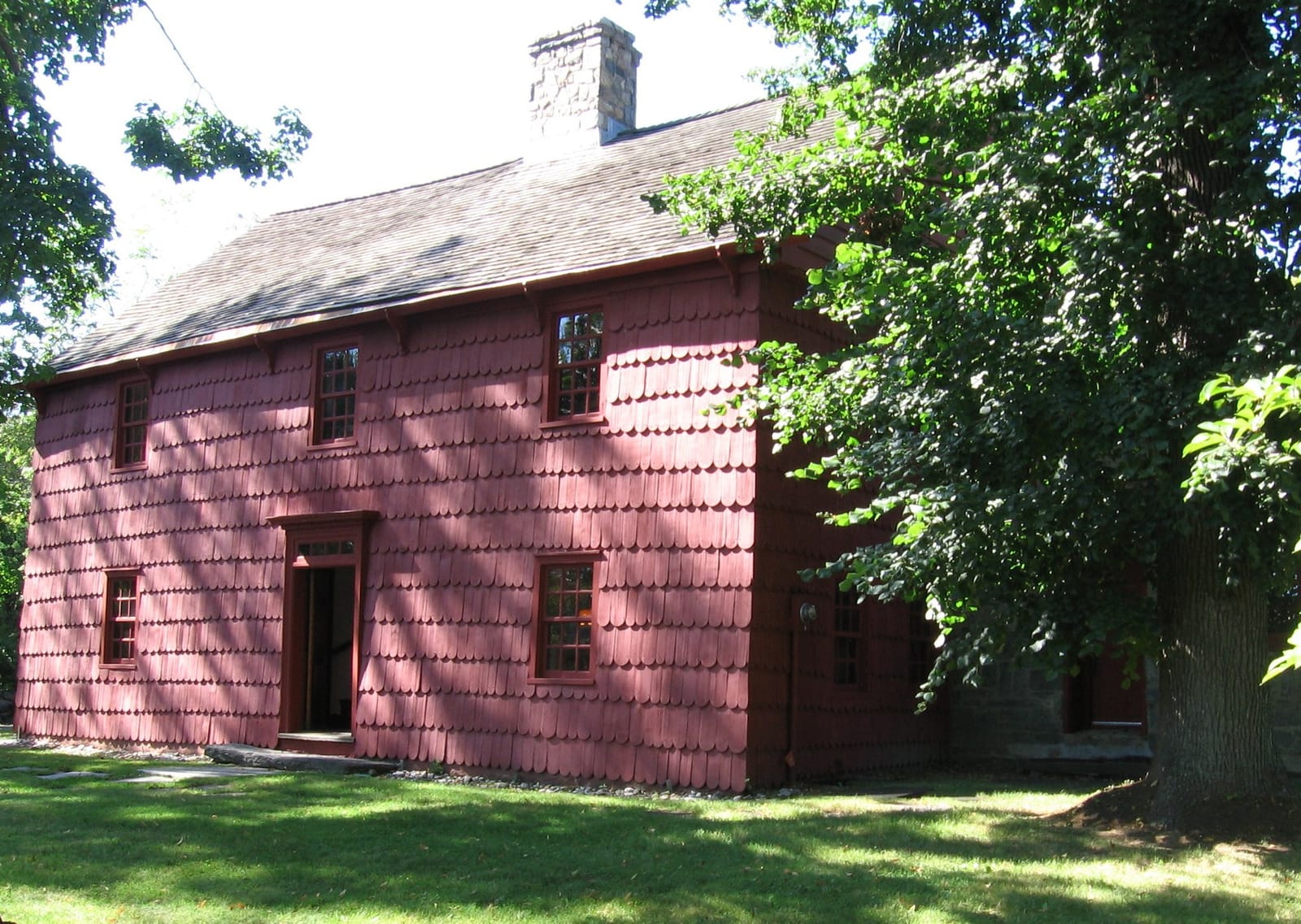
Greenwich is not one routine. Downtown is service-rich and train-oriented. Old Greenwich is village-and-beach. Cos Cob is practical and social. Byram and Glenville have west-side routes. Backcountry and Round Hill give the town more space. Use this guide to find the Greenwich pattern that fits your week, then check the address-level details that keep it working.
Start with the routine you would repeat most often. Then pick the situation that matches the decision in front of you and open the source or individual neighborhood page that can answer the practical part.
Start here
You are choosing between two listings
Run the same Tuesday route from each address: station or highway, school pickup if relevant, grocery/pharmacy, and the errand you keep postponing.
Check twice: Then open the GPS School Finder and Town GIS/property records before treating either address as "the easier one."
Start here
You want village life without downtown intensity
Compare Old Greenwich, Riverside, Cos Cob, Glenville, and Byram by the small center you would actually use on a rainy weeknight.
Check twice: Walk the commercial strip, then try the drive home during pickup or commuter hours. The pretty Saturday version is not enough.
Start here
You are tempted by space or shoreline
Make the house file early: driveway, drainage, trees, generator, service access, flood/storm questions, and beach or private-access assumptions.
Check twice: Use Town, FEMA, utility, association, and professional sources. Do not let a neighborhood label answer property questions.
Start here
You are new to Greenwich and do not know the shorthand
Start with Downtown, Old Greenwich, Riverside, Cos Cob, Byram/Glenville, then Backcountry/Round Hill/Mid-Country. The labels make more sense after you have driven the loops.
Check twice: Use this page as the first pass, then use the individual neighborhood pages for exact-address tradeoffs.
Greenwich is really a set of villages, and they solve the week differently. Use the table to narrow the shortlist, then open a village below for the address-level detail. Schools, walkability, and flood exposure swing by exact address, so the table points you to check those rather than guess them.
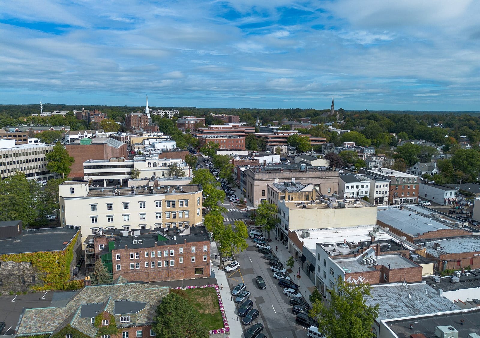
Greenwich Avenue energy, train convenience, library stops, restaurants, errands, and professional services.
A service-rich Greenwich routine: walkable errands, polished dining, retail, offices, the main Metro-North station, and civic/cultural anchors close together.
Watch: Parking, traffic, price, noise, and whether you want urban convenience or quieter residential rhythm.
Image credit
Greenwich Avenue and the downtown grid from above — the shopping, dining, and errand heart of town.
Image: Hayden Soloviev / Wikimedia Commons, CC BY 4.0. Source
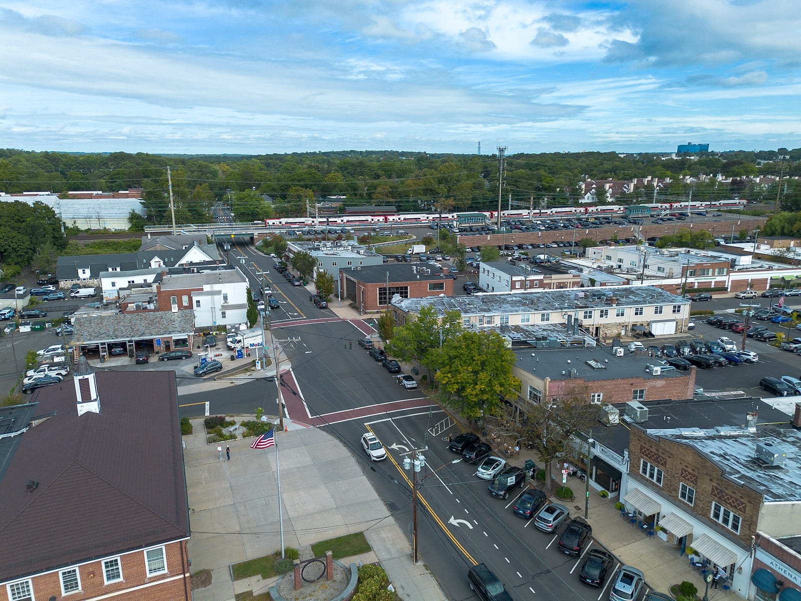
Village-center routines, Tod’s Point proximity, family errands, and a strong local-community feel.
Coffee, school routines, beach-adjacent weekends, neighborhood shopping, and a center that feels distinct from downtown Greenwich.
Watch: Beach/shoreline logistics, flood/storm considerations by property, and commute pattern from Old Greenwich station or I-95.
Image credit
Old Greenwich from above — the village center, shops, and the Metro-North line that shapes the east-side commute.
Image: Hayden Soloviev / Wikimedia Commons, CC BY 4.0. Source

Family-oriented residential life with quick access to Old Greenwich, Cos Cob, schools, clubs, and commuting routes.
Quiet streets, school and sports calendars, Riverside station routines, and easy movement between shoreline/village life and central Greenwich.
Watch: Walkability varies street-by-street; verify school assignment, train routine, and property-specific coastal/storm factors.
Image credit
Binney Park in Riverside, a calm east-side Greenwich landmark for neighborhood and family routines.
Image: Carol M. Highsmith / Library of Congress, Public domain. Source
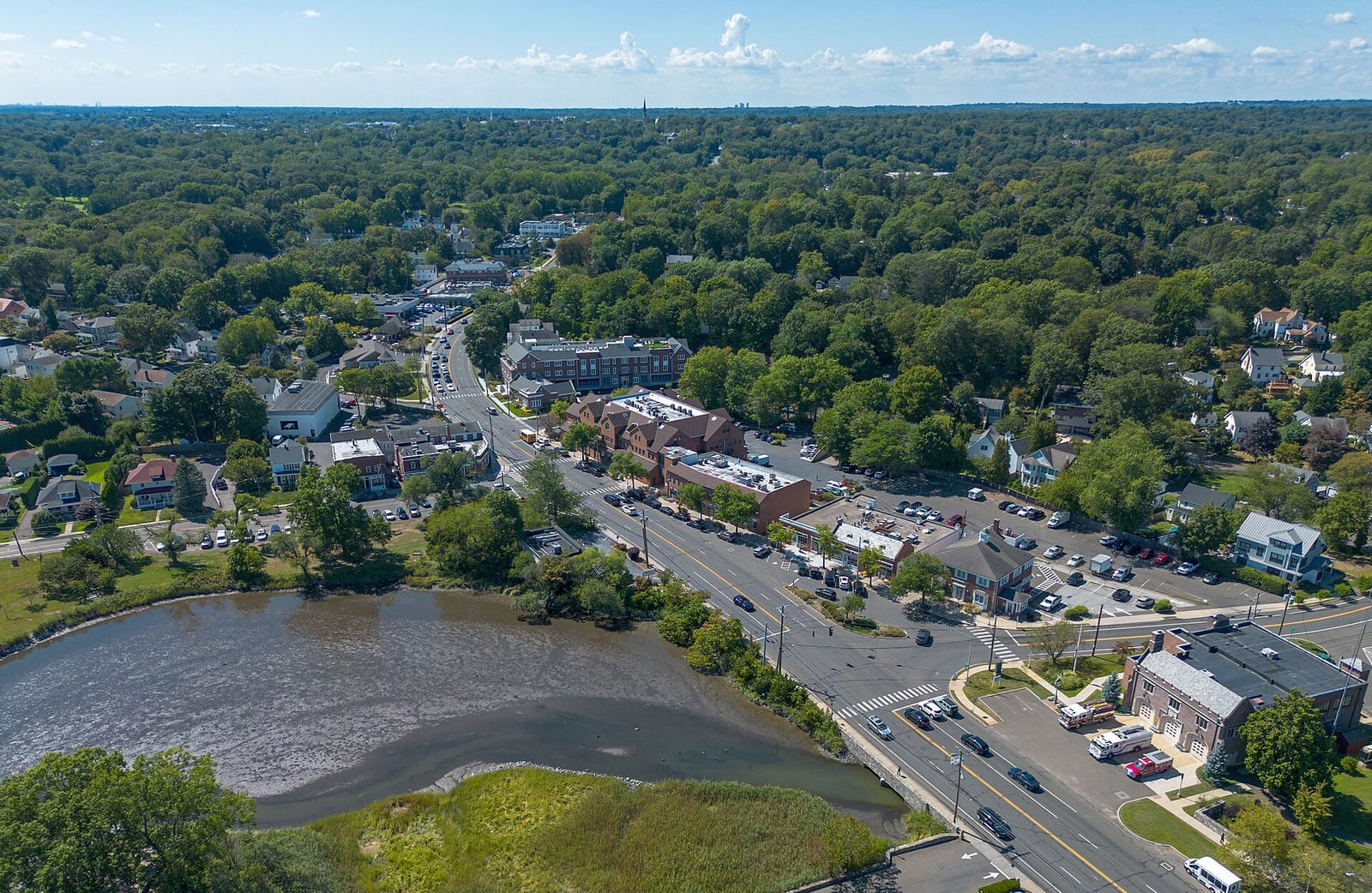
Central practicality: food, coffee, parks, schools, marina/harbor context, and cross-town access.
A practical Greenwich base for families who want less Avenue formality and more everyday convenience.
Watch: Traffic patterns, slope/topography, and whether your routine points east, west, downtown, or north.
Image credit
Cos Cob from above, with the mill pond and harbor that anchor this east-side Greenwich neighborhood.
Image: Hayden Soloviev / Wikimedia Commons, CC BY 4.0. Source
Western Greenwich value/location mix, Byram Park, Port Chester proximity, and a different local texture.
Good for residents who want Greenwich services with quick access to Port Chester dining/transit and a less stereotypical Greenwich feel.
Watch: Border logistics, commute pattern, and property-by-property differences matter; compare carefully.
Image credit
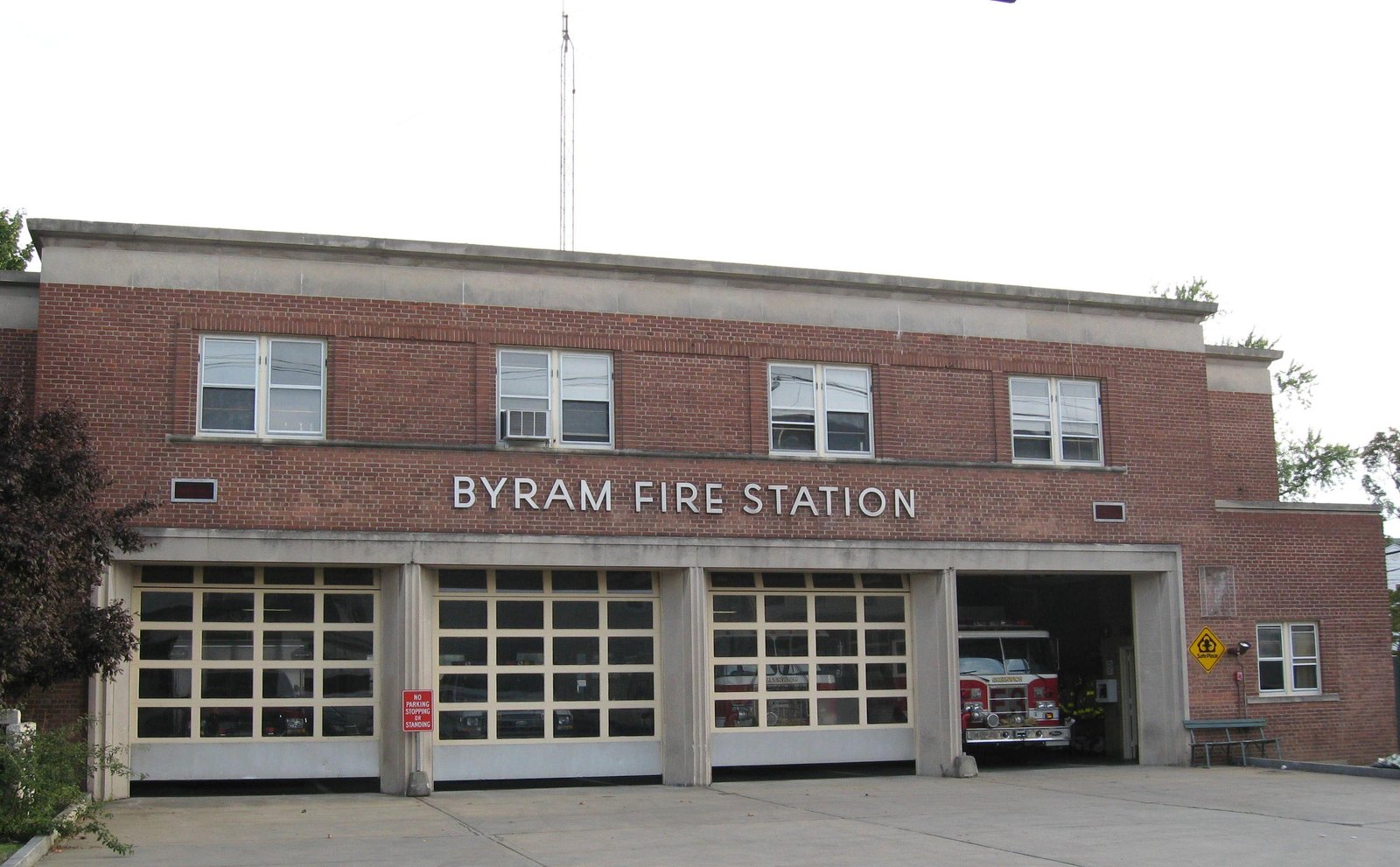
Byram Fire Station — a western-Greenwich civic anchor that hints at the neighborhood’s practical, border-adjacent routine.
Image: Jim.henderson / Wikimedia Commons, Public domain. Source
Western Greenwich routines, the village core, civic-center access, and route comparisons toward Westchester or the Merritt.
A quieter western-Greenwich rhythm: local errands around Glenville Street, school and activity logistics, and a car-based week that may point west as often as downtown.
Watch: Drive times to train, beaches, downtown, and after-school activities; car dependence is part of the lifestyle.
Image credit
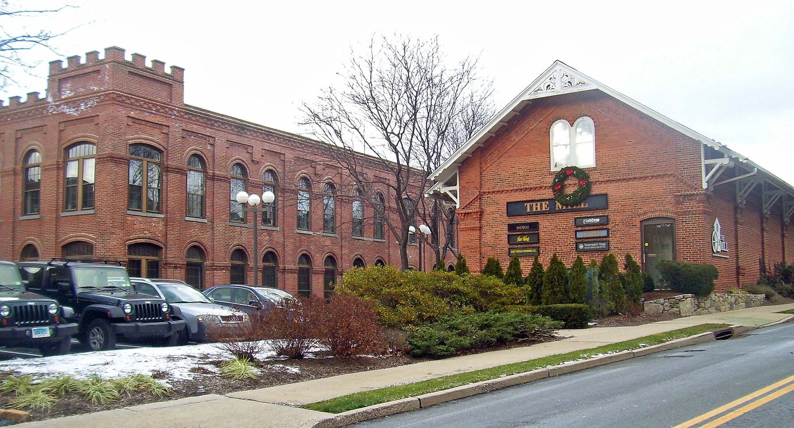
The former Hawthorne Woolen Mill in Glenville — a village-core landmark that gives this western Greenwich neighborhood a recognizable center.
Image: Daniel Case / Wikimedia Commons, CC BY-SA 3.0. Source
Hamilton Avenue and St. Roch Avenue routines, school and park context, and central/western Greenwich access.
A practical Greenwich neighborhood where the block matters: downtown can feel close, but school routes, sidewalks, parking, parks, and west-side errands shape the week.
Watch: Confirm formal boundaries, school assignment, walkability, and commute convenience by exact address.
Image credit
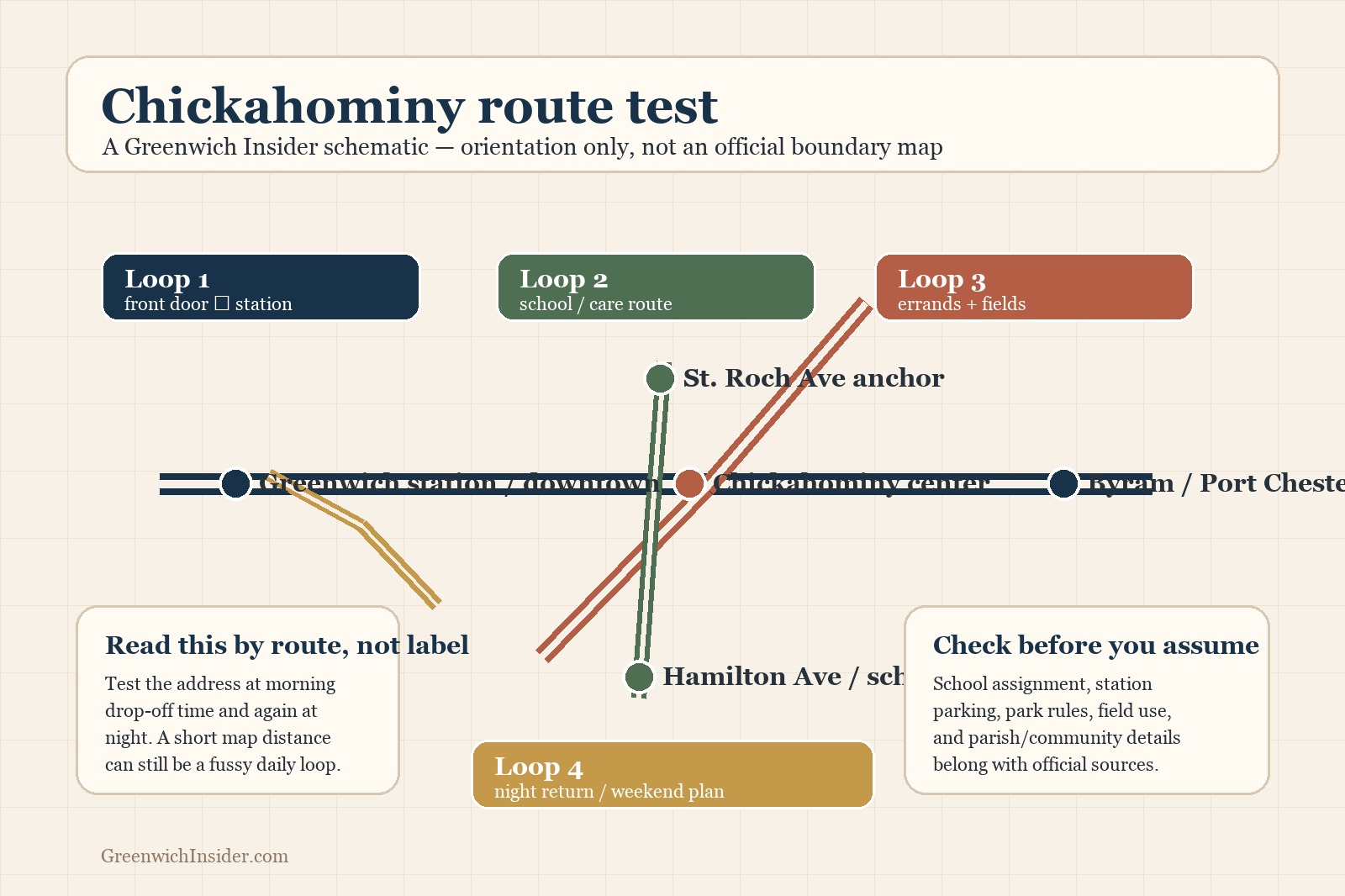
A Greenwich Insider route schematic for Chickahominy; use it for planning orientation, not as an official boundary map.
Image: Greenwich Insider, Original editorial schematic. Source
Pemberwick Road routines, west-side errands, school logistics, and Port Chester comparisons.
A practical west-side Greenwich week where Glenville, Byram, Port Chester, downtown Greenwich, and the train choice can all shape the map.
Watch: Block-level details matter: school assignment, station choice, errands, parks or fields, and cross-border convenience should all be checked by exact address.
Image credit
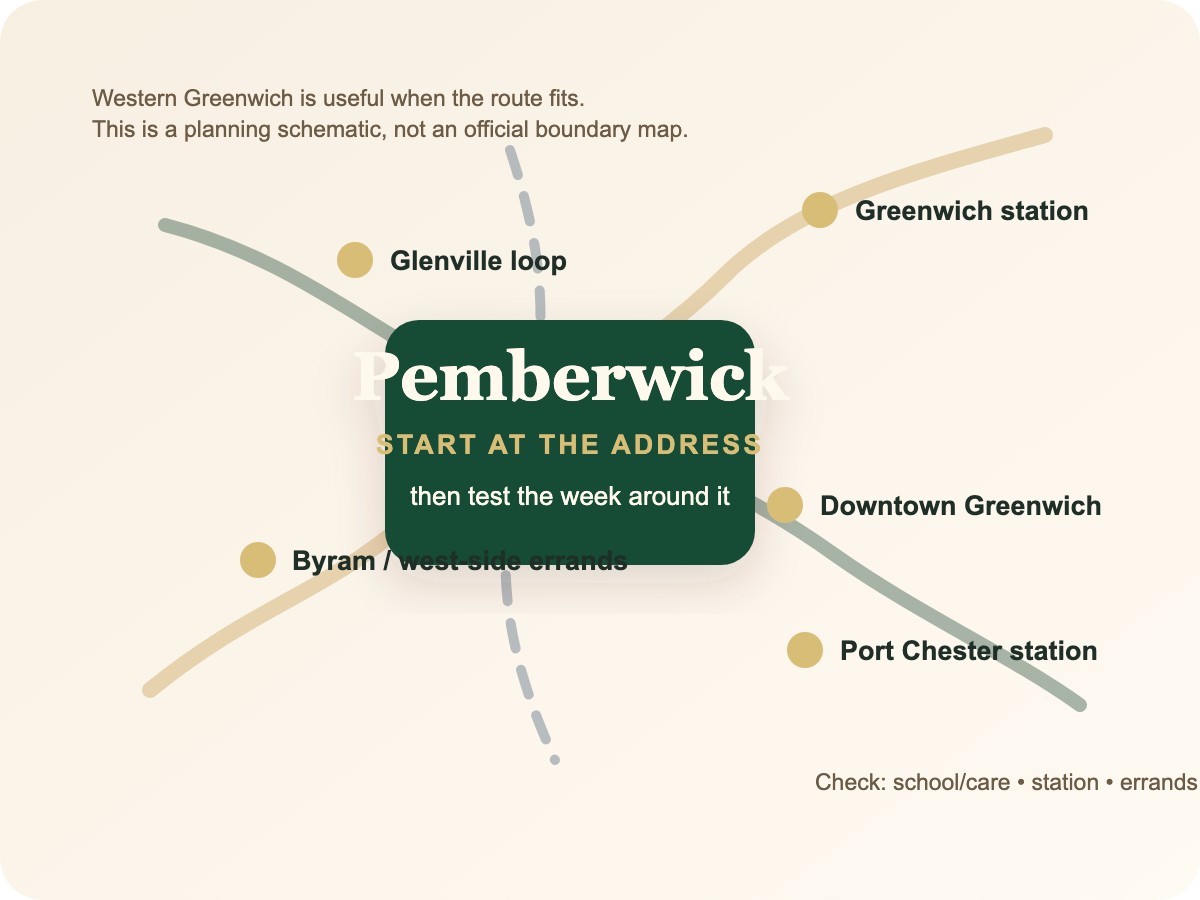
A Greenwich Insider route schematic for Pemberwick; use it for planning orientation, not as an official boundary map.
Image: Greenwich Insider, Original editorial schematic. Source
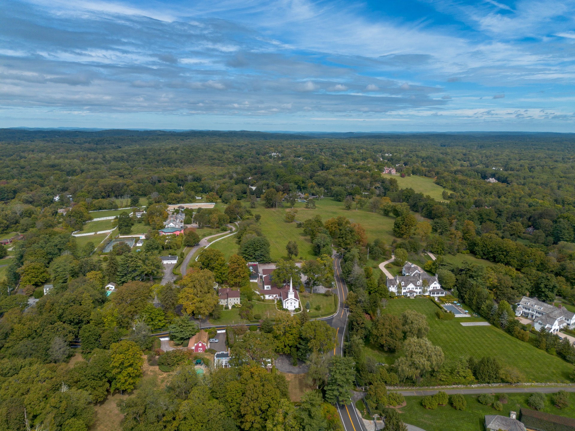
Round Hill Road, northern-Greenwich space, civic anchors, property-life checks, and car-first commute testing.
A northern/backcountry Greenwich routine where the exact address, driveway, station drive, school route, errands, and home systems matter more than the name.
Watch: Enjoy the space, then verify boundaries, school assignment, public access, service details, and property constraints by exact address.
Image credit
Round Hill from above — a northern Greenwich setting where the address, road pattern, and property routine matter more than the label.
Image: Hayden Soloviev / Wikimedia Commons, CC BY 4.0. Source
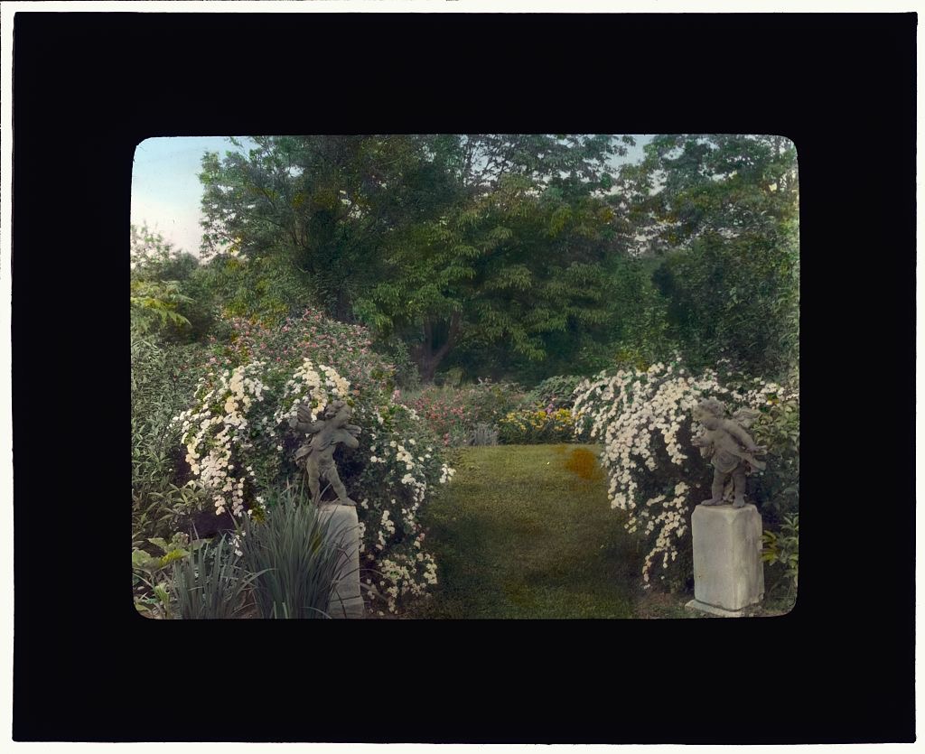
Central/northern residential route checks, station choice, school/care logistics, property-life planning, and space-versus-simplicity tradeoffs.
An informal Greenwich label where the week is usually car-first: station, school, errands, Merritt/I-95, downtown Greenwich, and property service all need address-level testing.
Watch: Confirm boundaries, school assignment, train convenience, privacy, open-space access, and maintenance expectations from the exact address.
Image credit
The Graham Nichols house in Greenwich — a historic house-and-grounds image for thinking about exact-address research, not a claim about today’s Mid-Country boundaries.
Image: Library of Congress / Wikimedia Commons, No known copyright restrictions. Source
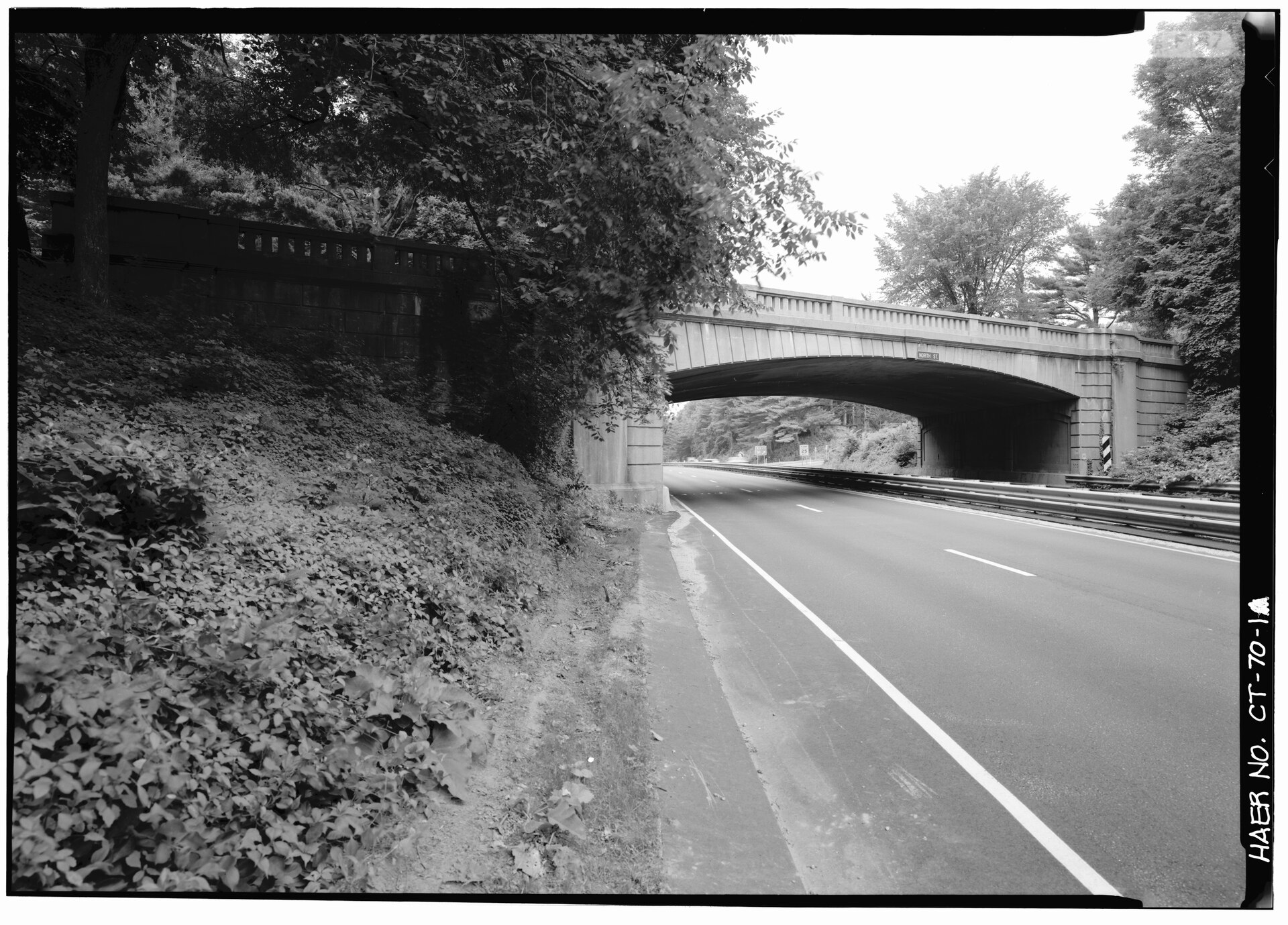
Larger-lot routines, quieter roads, more privacy potential, nature access, and a home life organized around driving.
The Greenwich version of space: longer drives, larger-property patterns, privacy expectations, and weekends centered around home, clubs, trails, or planned outings.
Watch: Generators, snow, landscaping, wells/septic where applicable, contractors, longer emergency/service access, and renovation constraints should be tested before the romance of space.
Image credit
North Street crossing the Merritt Parkway — a Backcountry threshold where the address, route, and weekly driving pattern start to matter.
Image: Historic American Engineering Record / Library of Congress, Public domain. Source
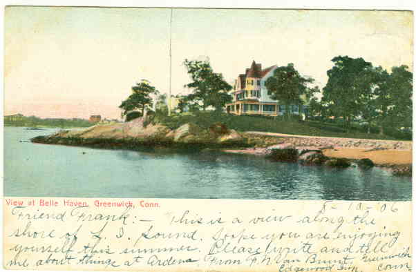
Shoreline property research, exact-address due diligence, flood and access checks, and downtown-adjacent Greenwich routines.
A highly property-specific shoreline routine where views, privacy, access, storm planning, station routes, and service logistics matter more than the label.
Watch: Flood/storm exposure, insurance, private access, association or property-document rules, coastal permitting, and school assignment all need exact-address verification.
Image credit
A 1906 postcard view of Belle Haven; useful as history, not as proof of present-day access, shoreline condition, or property rights.
Image: Unknown author / Wikimedia Commons, Public domain in the United States. Source